The layout of a city gives many clues to how that city evolved, and hints at the needs – and the lives – of its past inhabitants.
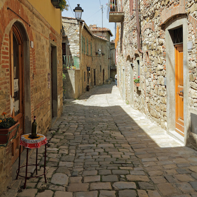
A bird’s-eye view of college towns like Oxford and Cambridge reveals quadrangles and open spaces which enabled discussion as students and lecturers walked; fishing villages from the air show houses built with their backs to a relentless sea-wind; Mediterranean towns are etched with thin, dark streets which deliberately block the sun and create cooler passages during the day.
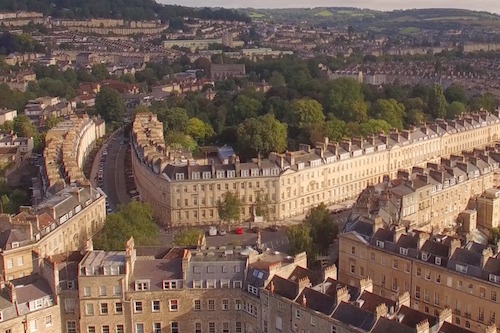 A glance at the street plan of Bath reveals a tale of two cities – a bustling medieval town and the more sophisticated Georgian development. In the 1700’s many of the tighter, haphazard streets and alleys that climbed the slope from the river-crossing were cleared to make way for the broad spans of new streets lined with urbane, Renaissance-inspired townhouses built to house the fashionable and the nouveau-riche. From the air, snapshots of these two periods of history are clear, from the tiny cobbled circle of Abbey Green to the swathe of Great Pulteney Street.
 There is a way of understanding a city that comes from being above it, something architects refer to as that city’s ‘grain’. But this is hidden from the walker and only partially seen from static viewpoints. There are actually relatively few ways for tourists to observe a city from the air – towers and tethered balloons offer only a single-point or narrow view; encircling hills or aircraft only distant ones.
How Arc opens up a city
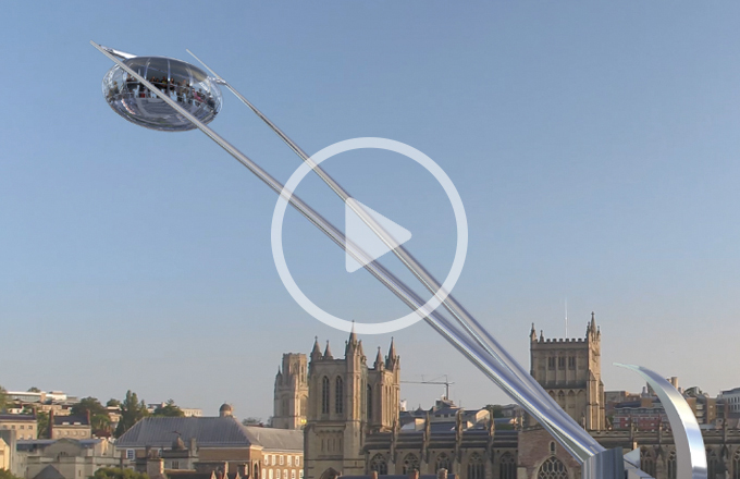
Arc has a significant role to play in the interpretation of built environments. People are interested in historic cities and sites and welcome different ways to view them – those who curate those cities constantly need to find ways to re-present them and offer new perspectives. It’s not enough to build a bridge to the past. You have to make the crossing relevant and enticing to today’s traveller.
This is where Arc scores. Its cutting-edge technology gives it relevance, and its feel-good experience makes it highly attractive to visitors. It offers a new perspective we call ‘close-above’ – and helps passengers to learn to ‘read’ the cityscapes they are looking at. It also orientates them, and points them on to other related attractions elsewhere in the city, continuing the experience – making it the perfect guide.


